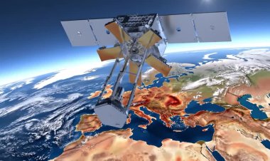
Seismic sensors track space debris
Method uses sonic booms to map reentry paths

A team of researchers has developed a method that uses existing seismic sensor networks to track uncontrolled re‑entries of space debris, potentially improving rapid response and forensic analysis when fragments fall to Earth. The technique, led by Planetary Scientist Dr. Constantinos Charalambous of Imperial College London with collaborators at Johns Hopkins University, analyses seismic signals—specifically the sonic booms and impact vibrations produced by hypersonic debris—to reconstruct trajectory, speed, altitude and fragmentation during re‑entry.
Researchers say seismic data can narrow predicted fallout corridors when orbital tracking becomes unreliable during the chaotic disintegration phase. Charalambous cited the 2024 re‑entry of China’s Shenzhou‑15 orbital module as an example: seismic analysis placed the debris track about 30–40 km south of pre‑reentry orbital predictions, highlighting substantial potential deviations and the value of ground‑based validation. By combining timing, amplitude and frequency patterns from multiple stations, scientists can triangulate impact locations, estimate impact energy and infer fragment mass or velocity, information that is especially valuable when debris contains hazardous materials or lands near populated areas.
The approach leverages the global coverage and continuous operation of seismic networks—originally deployed for earthquakes, volcanoes and monitoring compliance with nuclear‑test bans—so it could be implemented without building large new systems. Seismic signatures of impacts are typically short, sharp signals distinguishable from earthquakes, mining blasts or construction noise; cross‑station comparisons improve confidence and rule out false positives. When used alongside infrasound sensors, radar and eyewitness reports, seismic data can paint a three‑dimensional picture from atmospheric breakup to ground impact, strengthening space situational awareness and refining re‑entry models.
Limitations include reduced detectability of small fragments that burn up, impacts in oceans where signals attenuate, and the need for careful discrimination from anthropogenic or natural seismic sources. Nonetheless, documented cases where seismic stations matched bright fireballs or known rocket re‑entries have validated the concept and encouraged further study.
Researchers argue the method is a cost‑effective complement to satellite tracking and atmospheric observations, helping authorities locate debris, assess hazards and improve future forecasting. As the number of satellites and orbital fragments grows, integrating seismic monitoring into existing space‑surveillance toolkits could become a standard practice to better manage the rising risks of uncontrolled re‑entries.